
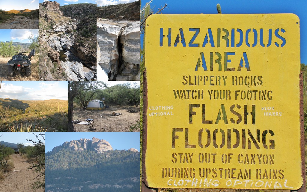
The danger is not only how much rain falls next, but where it falls after days of wet weather. Saturated soil, swollen creeks and poor drainage can make flooding develop quickly.
Days of relentless heavy rain are now the central concern across the Midwest and Plains, where heavy rain is prompting flash flood threats and millions of people are under the flood threat. Fox Weather reported that the Midwest and Plains are already saturated, which matters because additional downpours can run off quickly instead of soaking in.
The result is a wider, faster-developing flood risk across low-lying roads, small streams, urban drainage systems and farm country before the region has much time to dry out.
Saturated ground changes everything
Flash flooding is often described as a rain problem, but this setup is also a ground problem. When soil has already absorbed days of rainfall, it loses its ability to take in much more water. The next burst of heavy rain can move almost immediately into ditches, creeks, streets and basements.
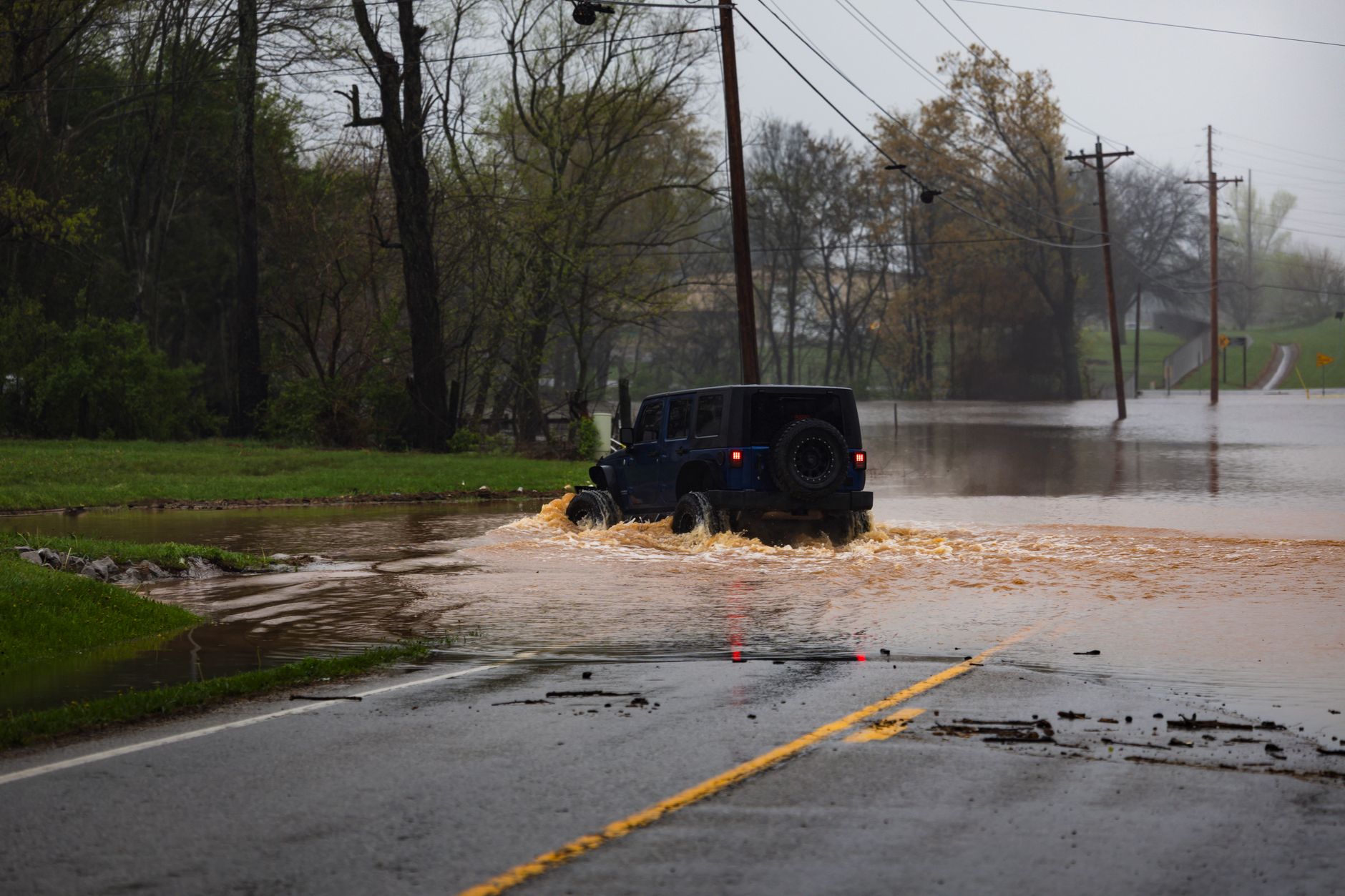
That is why the same storm can be annoying in a dry spell and dangerous after a wet week. A quick inch of rain over parched ground may soak in. A quick inch over saturated ground can become runoff, especially in neighborhoods with pavement, clogged storm drains or poor grading.
The Midwest and Plains are especially vulnerable to this kind of compounding effect because drainage can vary sharply over short distances. One town may have a swollen creek and ponding in fields while another, only a county away, has fewer immediate problems.
The risk can arrive fast
Flash flood threats are not always tied to a major named storm. They can come from repeated rounds of thunderstorms moving over the same area, a pattern meteorologists often call training. When storms track along a similar corridor for hours, totals can climb quickly even if each individual storm does not last long.
Fox Weather’s trend signal points to days of relentless heavy rain rather than a single burst. That matters because flood risk often builds quietly. Culverts fill, roadside ditches back up, creeks rise and soil becomes less forgiving. By the time the next downpour arrives, the landscape is already primed.
Heavy rain at night can raise the danger further. Drivers may not see water covering the road until it is too late, and small streams can rise in the dark before residents notice the change.
Millions face a broad threat
The affected area is described broadly as the Midwest and Plains, a huge region that includes major metro areas, rural highways, farm communities and river towns. That does not mean every place will flood. It does mean millions of people are living under a weather pattern with less room for error.
The most vulnerable locations are familiar ones: underpasses, low-water crossings, roads near creeks, neighborhoods with overwhelmed drainage, and homes with basements or poor sump pump backup. Rural areas can see gravel roads wash out or become impassable with little warning.
Urban flooding can be just as disruptive. When rain falls faster than storm drains can handle, water can pool on roads and seep into lower levels of homes and businesses. Even shallow water can stall vehicles, hide road damage or push debris into traffic lanes.
Storm forecasts have limits
One reason flash flooding is difficult to message is that the threat is both regional and hyperlocal. Meteorologists can identify a corridor where heavy rain is likely, but the worst flooding may depend on where individual storm cells repeatedly form and move.
That uncertainty can create competing impressions. Some residents may hear about a flood threat and see little more than rain. Others nearby may deal with water over roads, closed routes or a rapidly rising creek. Both experiences can happen inside the same weather setup.
It is also possible for severe weather and flood risk to overlap. In a related Fox Weather severe-weather briefing for the Central Plains and Midwest, NOAA’s Storm Prediction Center highlighted the potential for strong thunderstorms in the region, including damaging winds, hail and heavy rain. When storms are intense and slow-moving, the flooding side of the hazard can become just as important as wind or lightning.
Warnings deserve quick action
The National Weather Service’s flood safety message is simple for a reason: do not drive through flooded roads. Water can be deeper than it looks, pavement may be washed out underneath, and moving water can carry a vehicle away.
There is an important difference between a watch and a warning. A flood or flash flood watch means conditions are favorable and people should be ready. A warning means flooding is occurring or expected soon, and action may be needed immediately.
- Check routes before driving. A normal commute can change quickly if low spots flood.
- Move valuables off basement floors. Saturated ground can increase seepage and backup problems.
- Keep phones charged. Overnight alerts are easier to miss when storms arrive after dark.
- Clear nearby drains if it is safe. Leaves and debris can worsen street flooding.
- Have another way out. Do not rely on a single low-lying road during heavy rain.
What to watch next
The key question is not only how much rain falls across the Midwest and Plains, but whether new storms repeatedly hit the same saturated counties. If the heaviest rain shifts, the worst flooding risk shifts with it. If it stalls, problems can escalate quickly.
Residents should pay attention to local alerts rather than broad regional labels alone. County-level warnings, river gauges and local emergency updates will matter more than a general map once storms are underway.
The clean takeaway: the Midwest and Plains do not need a historic storm to see dangerous flooding right now. After days of heavy rain, the ground is already loaded. The next downpour may have nowhere to go.











Leave a Reply