
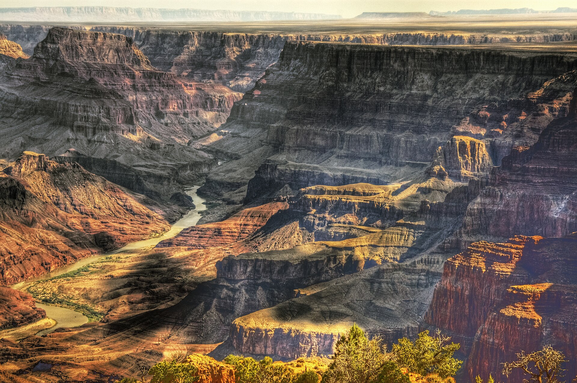
The nation’s largest reservoir has slipped below its 2022 record, with forecasters expecting more declines this year. The reading puts fresh pressure on seven states and federal officials still trying to settle how the Colorado River’s shrinking supply will be shared.
Lake Mead reached a historic low water level of 1,040.4 feet above sea level, falling below its July 2022 record as the Colorado River struggles with ongoing water-supply problems. The reservoir on the Arizona-Nevada border outside Las Vegas is now at its lowest point since it was filled nearly 90 years ago, a warning for the 40 million people, farms, businesses, tribal nations and ecosystems tied to the river.
The new mark matters because Lake Mead is not simply a measure of drought. It is a central storage account for a river system already facing hard choices over water deliveries, hydropower and environmental protections—and federal modeling says the reservoir could keep falling through much of the year.
A new low below 2022
Federal data cited by the Associated Press put Lake Mead at 1,040.4 feet on Friday. The U.S. Bureau of Reclamation said that was just below the previous record, set July 28, 2022.
Lake Mead, held back by Hoover Dam, is the largest reservoir in the United States. Its elevation is closely watched because its storage helps support water deliveries to Arizona, California and Nevada, while its dam produces electricity for parts of the Southwest.
A record-low reading does not mean the reservoir is empty, nor does it automatically trigger one specific new restriction. But it narrows the operating cushion in a system designed around a river that is delivering less water than its users have historically expected.
The visible effects can be dramatic: receding water exposes pale “bathtub ring” rock around the reservoir and leaves marinas, boat ramps and shoreline infrastructure farther from the water. The policy consequences, however, reach far beyond recreation at Lake Mead.
Snowpack shortfall hits the river
The Colorado River depends heavily on mountain snow. Snow that accumulates in the Rockies during winter melts over spring and summer, supplying a major share of the runoff that feeds the river and its reservoirs.
That natural recharge was especially weak this past winter. The Colorado River Basin recorded its worst snowpack on record, according to reporting cited by the AP, intensifying drought conditions that are particularly severe near the river’s headwaters.
Dry ground can compound the problem. When soils and vegetation are parched, more meltwater is absorbed before it reaches streams. Higher temperatures also increase evaporation and plant water use, leaving less runoff to move downstream.
That is why one rainy spell or a short-lived storm system cannot easily reverse a reservoir decline. Lake Mead reflects a much larger balance: snowfall, runoff, releases from upstream reservoirs, evaporation, water use and the rules governing deliveries.
Overuse remains part of the equation
Climate conditions alone do not explain the pressure on Lake Mead. Years of heavy water use, alongside drought and rising temperatures, have drawn down both Lake Mead and Lake Powell, the Colorado River’s two largest storage reservoirs.
Lake Powell, upstream of Mead, has also reached levels not seen in nearly seven decades. Lower water levels there have made it harder to reach the water from some facilities, forcing boat ramps to be relocated, rebuilt or closed.
The broader pattern extends across the West. Of 54 western reservoirs tracked by the Bureau of Reclamation, nine recently recorded their lowest levels in the past three decades, according to the AP.
There is an important distinction in the public debate. Some observers emphasize that the basin needs a durable reckoning with a hotter, drier climate. Others focus on the immediate need for enforceable reductions in withdrawals. In practice, the current crisis is driven by both a diminished water supply and demands that have exceeded what the river can reliably sustain.
Water cuts are still unsettled
The falling level arrives as California, Colorado, Arizona, Nevada, New Mexico, Wyoming and Utah have yet to agree on a long-term plan for sharing the Colorado River’s reduced supply. Tribal nations and Mexico also have major stakes in the river’s future.
Federal officials recently advanced a short-term proposal aimed at preventing a deeper crisis. The Bureau of Reclamation’s plan calls for the Lower Basin states—Arizona, California and Nevada—to use less water, with cuts that could become deeper during drier periods.
The agency described the approach as flexible, giving states more time to negotiate while recognizing that the amount of water available can change sharply from year to year. That flexibility may help manage immediate volatility, but it does not settle the politically difficult question of who absorbs lasting reductions.
Farmers, cities and water agencies generally agree that stability is needed. They differ sharply over how cuts should be allocated, how much credit should go to past conservation and how to balance urban needs, agricultural production, tribal water rights and environmental flows.
Hydropower and habitat collide
Low reservoir levels create another tension: water managers must protect the ability to generate hydropower while also maintaining river conditions for threatened species. Those goals can pull decisions in different directions.
Federal officials said Thursday that they would not release cool water from Lake Powell through Glen Canyon Dam to benefit the threatened humpback chub. The fish’s habitat lies in the river corridor between Lake Powell and Lake Mead.
The decision was intended to protect the system’s hydropower capacity, according to the AP. It illustrates how less water leaves managers with fewer easy trade-offs: a release helpful for fish habitat may reduce storage or alter operations needed for electricity generation.
For communities that rely on the river, the stakes are practical as well as environmental. The Colorado River supports municipal water systems, irrigated agriculture, industry, recreation and power generation across seven states, tribal nations and Mexico.
The next forecast is not reassuring
Federal modeling completed in July projected that Lake Mead would continue declining through much of the rest of the year. Forecasts can change with precipitation and runoff, but the direction of the latest outlook offers little near-term relief.
Lake Mead’s 1,040.4-foot reading is therefore best understood as a signal, not a standalone milestone. It shows how little room remains for weak snow seasons, persistent heat and delayed agreement among the governments that share the river.
The immediate questions are whether the Lower Basin can reduce use quickly enough, whether a broader long-term compact can be reached, and how much additional stress the reservoir can absorb before water, power and environmental choices become even more constrained.
The central fact is clear: Lake Mead’s historic low is not an isolated Las Vegas-area story. It is a measure of a Colorado River system in which the available water is shrinking while the need to decide who gets less has become impossible to postpone.








Leave a Reply